Whoa! You Can Climb Yosemite's El Capitan With Google Maps
Jun 24 2015 - 1:41pm
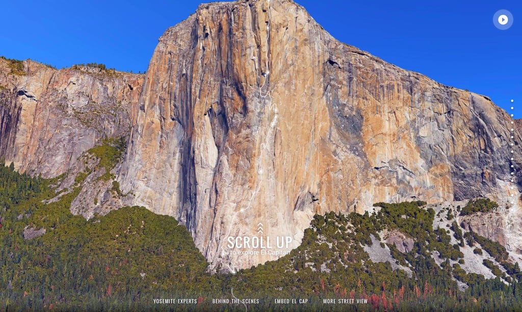
The easiest way to see the wonders of the world? Google Maps. You might use the technology more for directions from Point A to Point B [1], but you can also go into Street View to tour through some of the Earth's most spectacular sites. The latest addition to Maps is a spectacular interactive [2] that maps out "the Nose" — the most famous climb along El Capitan in Yosemite National Park.
The new feature lets anyone virtually climb the rock along with the help of three legendary climbers. Get the full scoop here [3] and then try it out yourself [4].
It's not the only street view that will make you feel like you've left your couch and travelled to a different part of the world. Check out these other virtual adventures, courtesy of Google.
Northern Lights, Finland
View Larger Map [5]
Liwa Desert, United Arab Emirates
Views [6]: View Larger Map [7]
Galapaguera de Cerro Colorado, Galapagos, Ecuador
View Larger Map [8]
Floreana Island, Galapagos, Ecuador
View Larger Map [9]
Uhuru Peak, Mount Kilimanjaro, Tanzania
View Larger Map [10]
South Base Camp, Mount Everest, Nepal
View Larger Map [11]
Heron Island, Great Barrier Reef, Australia
View Larger Map [12]
Shackleton's Hut, Cape Royds on Ross Island, Antarctica